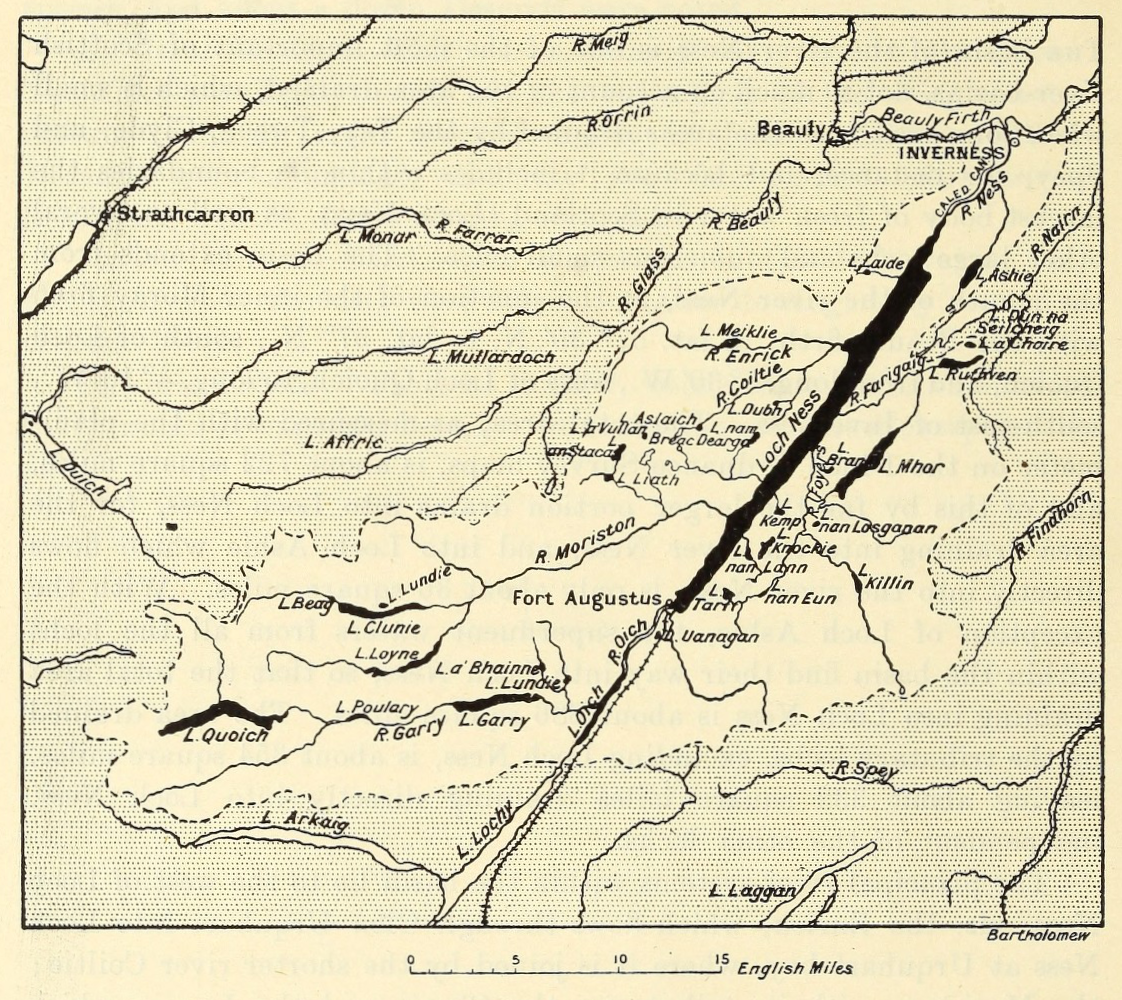
The Lake Survey's soundings and chart of Loch Ness (published 1910): map
The source of the depth (754 feet) and area figures still quoted; the AUV survey of 2014 mapped the deep floor in detail.
Bathymetrical Survey of the Scottish Fresh-Water Lochs, 1910. Public domain
Copies 2
ScanSir John Murray and Laurence Pullar (Challenger Office, Edinburgh) · archive.org · 1910 · public-domainPrimary source: Bathymetrical Survey of the Scottish Fresh-Water Lochs, vol. 21 step from the original
MapBathymetrical Survey of the Scottish Fresh-Water Lochs · commons.wikimedia.org · 1910 · Public domain (published 1910)1 step from the original

Where it was made
Loch Ness · Freshwater loch
Sources 1
Cite it
Mysteries Department. (2026). The Lake Survey's soundings and chart of Loch Ness (published 1910) [Artifact ART0CRFXQ8R58F1]. https://mysteriesdept.com/r/ART0CRFXQ8R58F1
@misc{mysteriesdept_art0crfxq8r58f1,
  title     = {The Lake Survey's soundings and chart of Loch Ness (published 1910)},
  author    = {{Mysteries Department}},
  year      = {2026},
  note      = {Artifact, catalog key ART0CRFXQ8R58F1},
  url       = {https://mysteriesdept.com/r/ART0CRFXQ8R58F1}
}