ConceptsBathymetry
Concept · oceanography · in 3 mysteries
Bathymetry
The measured shape and depth of the sea floor.
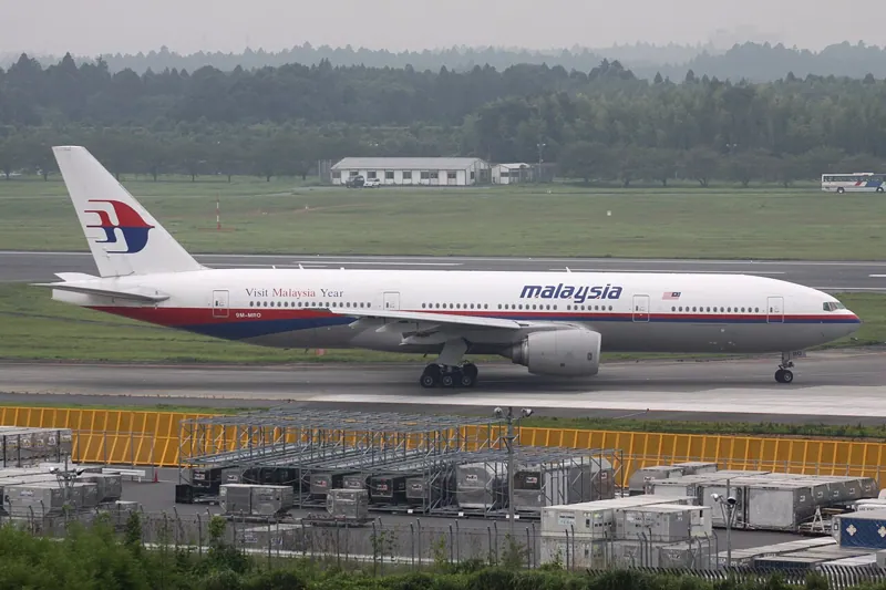 Malaysia Airlines Flight MH370
The underwater equivalent of a map's contours, made with echo sounders from ships. A search for a lost ship or aircraft needs it first, because sonar and cameras work differently on flat sediment, slopes and rock, and because what sank comes to rest where the floor lets it. Much of the MH370 search area was mapped for the first time in order to search it.
Where it comes up
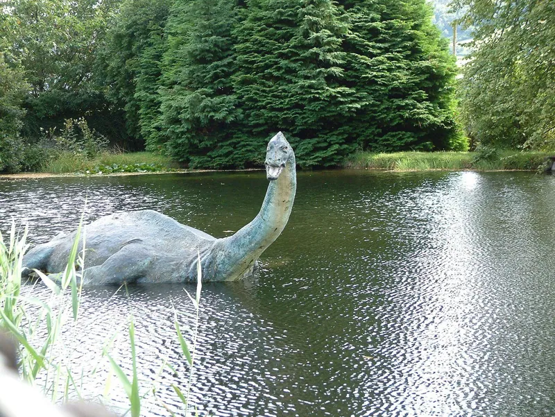
Loch Ness
An autonomous-vehicle bathymetry survey has since mapped the deep floor in detail .
Cite it
Mysteries Department. (2026). Bathymetry [Concept CPT0DECW07EH90Y]. https://mysteriesdept.com/r/CPT0DECW07EH90Y
@misc{mysteriesdept_cpt0decw07eh90y,
  title     = {Bathymetry},
  author    = {{Mysteries Department}},
  year      = {2026},
  note      = {Concept, catalog key CPT0DECW07EH90Y},
  url       = {https://mysteriesdept.com/r/CPT0DECW07EH90Y}
}