DatasetsMalaysia Airlines Flight MH370Southern Indian Ocean bathymetry and sonar coverage from the 2014–2017 search
Southern Indian Ocean bathymetry and sonar coverage from the 2014–2017 search
Geoscience Australia released the multibeam bathymetry collected for the search (about 710,000 km²) in 2017; the sonar coverage polygons are in the ATSB final report. Geoscience Australia's data portal holds the grids.
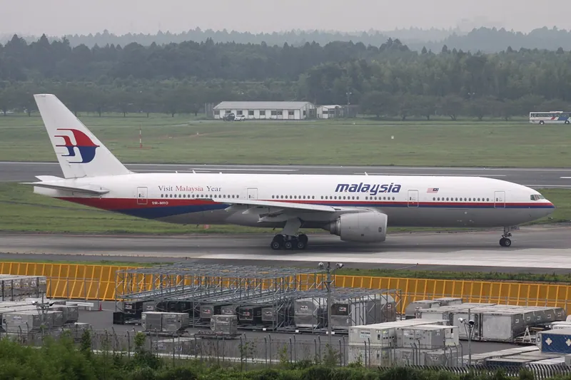 Malaysia Airlines Flight MH370Version 1.0Licence CC-BY-4.0Updated 26 Oct 2026
Used by
0methods
0runs, with their results
0research sessions