ConceptsGround-penetrating radar
Concept · geophysics · in 1 mystery
Ground-penetrating radar
Mapping what lies under the ground by bouncing radio pulses off buried surfaces.
A radar antenna dragged across the ground sends pulses down and records the echoes from boundaries between materials: a wall, a pit, a change of soil. It finds structure without digging and is used on this site at Stonehenge, Gunung Padang and the Oak Island money pit. It shows that something is there, not what it is; only excavation does that.
Where it comes up
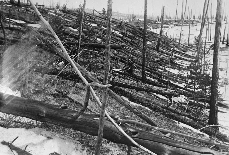
1908 Tunguska event
The 2023 strewn-field calculation gives a defined search area of about 140 km² north-west of the epicentre, where a magnetometer and ground-penetrating radar survey of the permafrost could look for buried stony or iron…
Cite it
Mysteries Department. (2026). Ground-penetrating radar [Concept CPT0DECW04JAPJM]. https://mysteriesdept.com/r/CPT0DECW04JAPJM
@misc{mysteriesdept_cpt0decw04japjm,
  title     = {Ground-penetrating radar},
  author    = {{Mysteries Department}},
  year      = {2026},
  note      = {Concept, catalog key CPT0DECW04JAPJM},
  url       = {https://mysteriesdept.com/r/CPT0DECW04JAPJM}
}