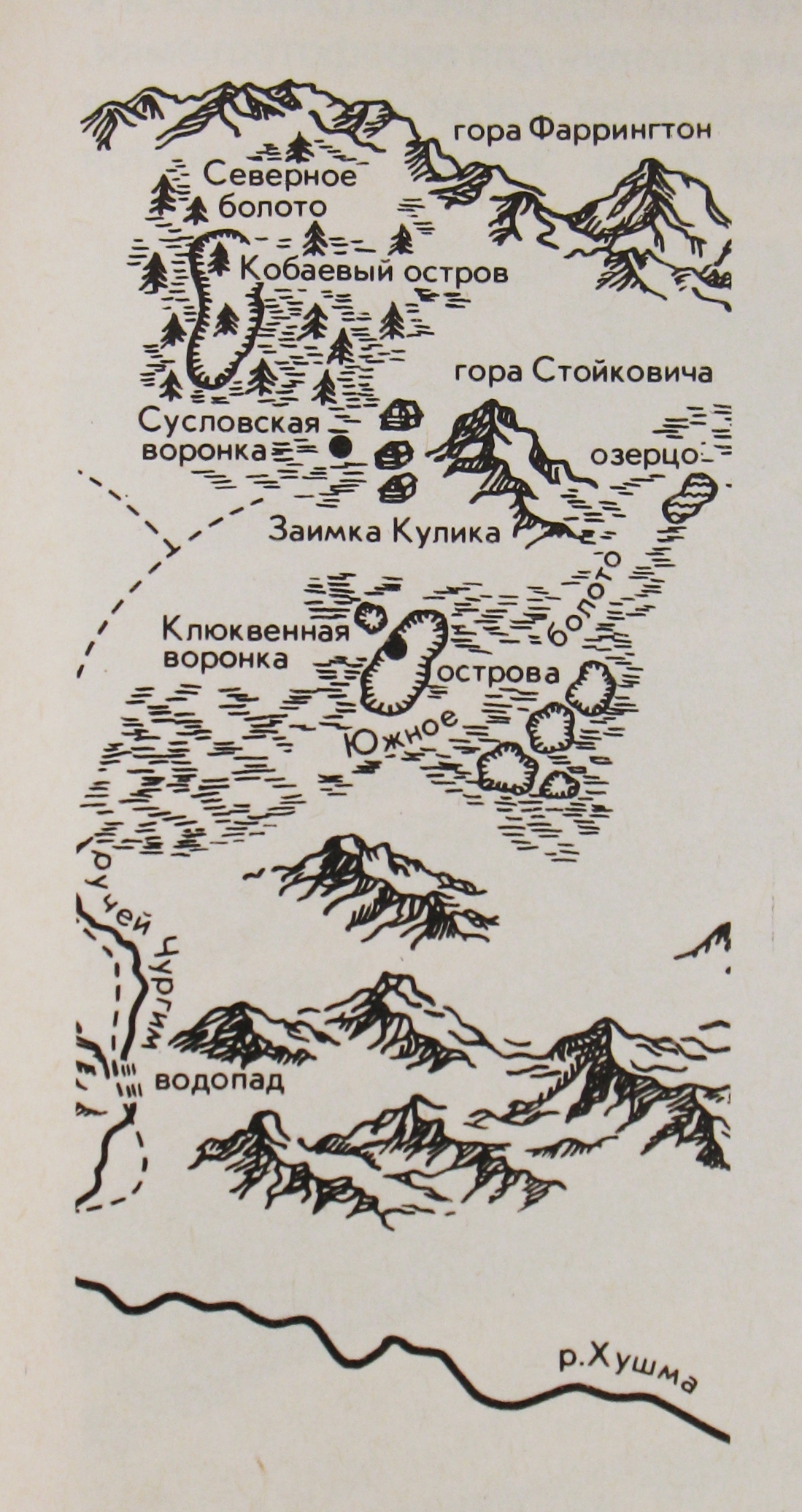
Sketch map of the fall area (published 1931): map
The map of the fall area as Kulik's expeditions knew it before the tree-fall surveys of the 1960s.
Vokrug Sveta, from the Kulik expeditions, 1931. Public domain
Copies 1
MapVokrug Sveta, from the Kulik expeditions · commons.wikimedia.org · 1931 · Public domain (Russia; published 1931)Primary source: Tunguska photographs and map from Vokrug Sveta (1931), on Wikimedia Commons1 step from the original

Where it was made
Sources 1
Cite it
Mysteries Department. (2026). Sketch map of the fall area (published 1931) [Artifact ART0D4ECVVJ384V]. https://mysteriesdept.com/r/ART0D4ECVVJ384V
@misc{mysteriesdept_art0d4ecvvj384v,
  title     = {Sketch map of the fall area (published 1931)},
  author    = {{Mysteries Department}},
  year      = {2026},
  note      = {Artifact, catalog key ART0D4ECVVJ384V},
  url       = {https://mysteriesdept.com/r/ART0D4ECVVJ384V}
}