MysteriesLost Colony of RoanokeArtifactsJohn White's map "La Virginea Pars", with its two paper patches
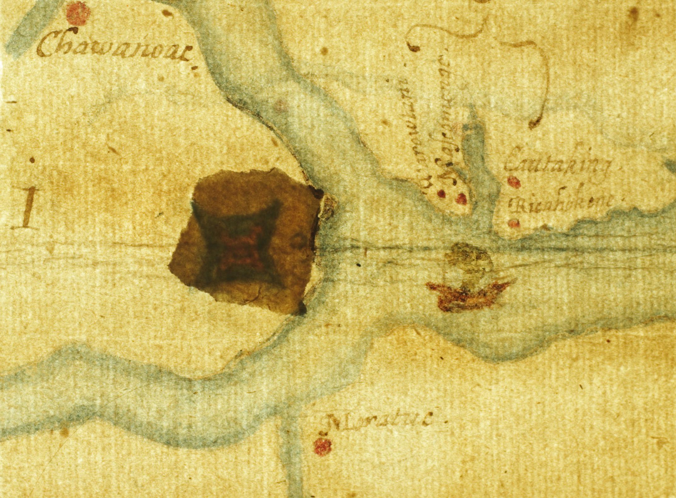
John White's map "La Virginea Pars", with its two paper patches: scan
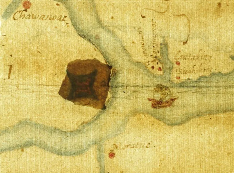
In 2012 the museum examined the patch at the head of Albemarle Sound and found a fort symbol beneath it; the museum's technical report was not located in this pass.
British Museum, 1585. Public domain
Copies 3
ScanBritish Museum · britishmuseum.org · CC BY-NC-SA 4.0 (museum standard; confirm)Primary source: La Virginea Pars (map of the east coast of North America from Chesapeake Bay to Cape Lookout), John White, 1585–15931 step from the original
ScanBritish Museum · commons.wikimedia.org · Public domain (PD-art, PD-old)1 step from the original

PictureJohn White · commons.wikimedia.org · Public domain (PD-art, PD-old)1 step from the original
Where it was made
Sources 2
Cite it
Mysteries Department. (2026). John White's map "La Virginea Pars", with its two paper patches [Artifact ART0CQCCMHR26H4]. https://mysteriesdept.com/r/ART0CQCCMHR26H4
@misc{mysteriesdept_art0cqccmhr26h4,
  title     = {John White's map "La Virginea Pars", with its two paper patches},
  author    = {{Mysteries Department}},
  year      = {2026},
  note      = {Artifact, catalog key ART0CQCCMHR26H4},
  url       = {https://mysteriesdept.com/r/ART0CQCCMHR26H4}
}