DatasetsGreat houses of Chaco CanyonUSGS 3D Elevation Program lidar point clouds and 1 m elevation models for Chaco and the San Juan Basin
USGS 3D Elevation Program lidar point clouds and 1 m elevation models for Chaco and the San Juan Basin
Checked on 26 October 2026 through the National Map API. The canyon is covered by the lidar point clouds of project CO_CONMGaps_D24 (LAZ tiles, published April 2026); no 1 m elevation model has been made from them yet. North of the canyon, 1 m elevation models from project NM_NorthWest_2018_D19 cover parts of the Great North Road corridor (GeoTIFF on prd-tnm.s3.amazonaws.com; one tile opened). The
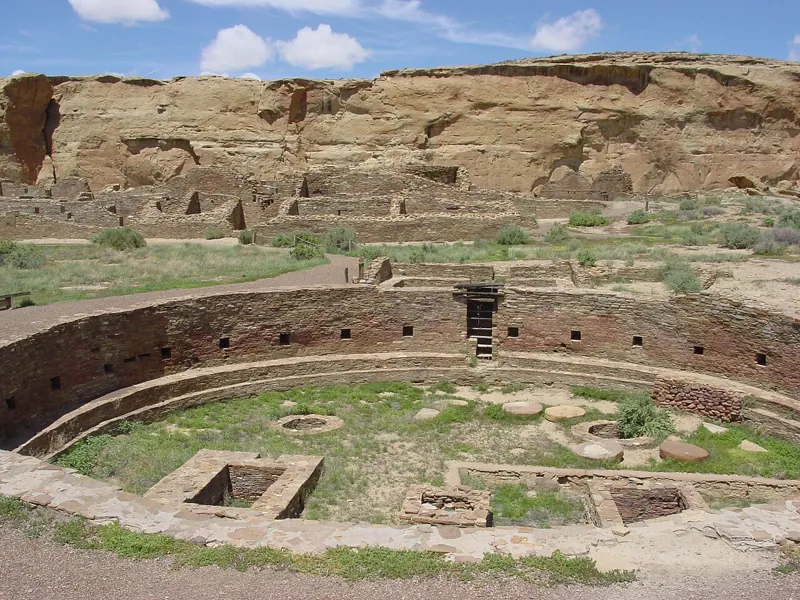 Great houses of Chaco CanyonVersion 1.0Licence public-domain (US government work)Updated 26 Oct 2026
Used by
0methods
0runs, with their results
0research sessions