AIS vessel traffic for US waters (MarineCadastre.gov)
Ship positions from US Coast Guard terrestrial AIS, 2009 onward, with transit-count rasters. Coverage thins offshore; satellite AIS would be needed for the open Triangle.
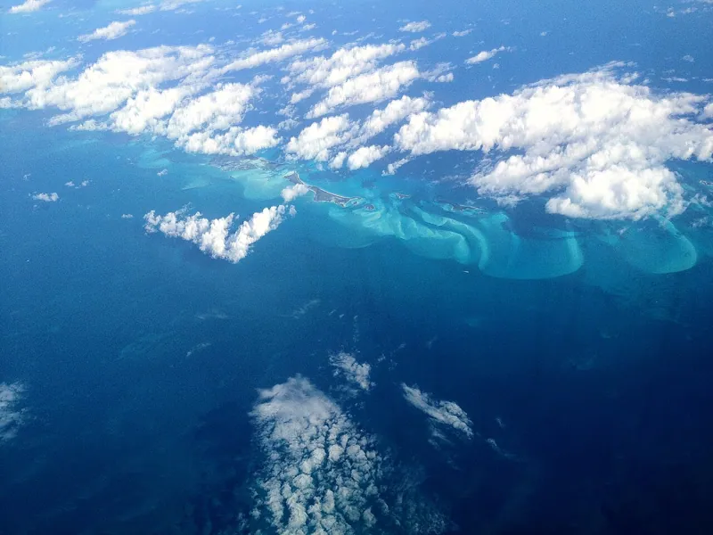 Bermuda TriangleVersion 1.0Licence public-domainUpdated 26 Oct 2026
Used by
0methods
0runs, with their results
0research sessions