DatasetsGreat Sphinx of GizaARCE Sphinx Project 1979 to 1983 archive (maps, elevations, photographs, field records)
ARCE Sphinx Project 1979 to 1983 archive (maps, elevations, photographs, field records)
Released 14 November 2017 (DOI 10.6078/M7CZ356B). Master photogrammetric elevations of the front and sides and a master plan at 1:50 (Kapp), maps of the Khafre Valley Temple, Sphinx Temple and Amenhotep II temple at 1:100, topographic and geological maps of the enclosure at 1:200, a 1:1,000 site map, masonry sections at 1:10 and 1:20, a water-table profile for 1981 to 1982, about 5,000 colour slid
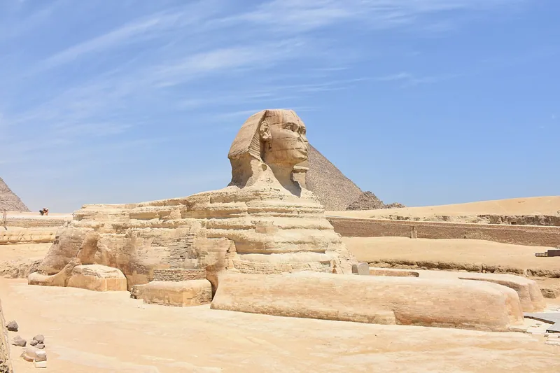 Great Sphinx of GizaVersion 1.0Licence CC-BY-4.0Updated 26 Oct 2026
Used by
0methods
0runs, with their results
0research sessions