Mysteries Department
Sign inRequest access
DatasetsCarnac alignmentsThom survey plans of Le Ménec, Kermario and Kerlescan
Dataset · spatial

Thom survey plans of Le Ménec, Kermario and Kerlescan

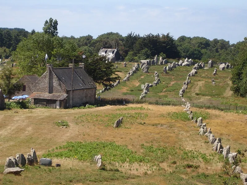
Measured plans with stone positions, published as figures; they would need digitising and georeferencing against the lidar. The original survey notebooks are not known to be online.
Carnac alignmentsCarnac alignmentsVersion 1.0Licence The maker'sUpdated 26 Oct 2026

Used by

0methods
0runs, with their results
0research sessions
Private beta Downloads are for beta members

We're in a private beta while we get things right. Everything here is free to read; downloading datasets, sources and code is open to members for now.

It takes a couple of minutes. We'll reply by email.