IGN LiDAR HD point clouds and terrain models for Morbihan
At least 10 pulses per m², 1 km tiles. Ground points support a bare-earth model of the rows, horizon profiles for alignment tests, and detection of fallen or buried stones.
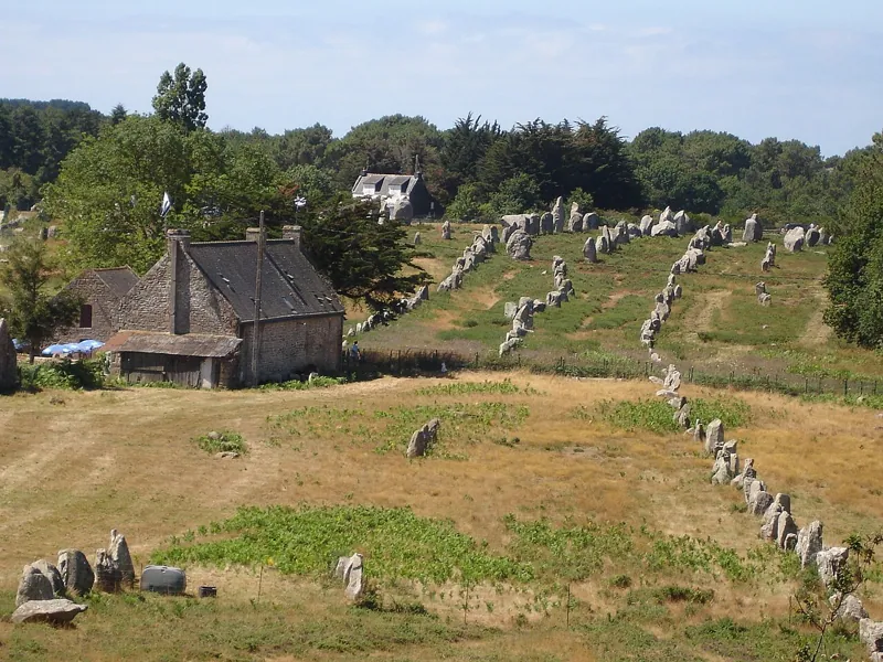 Carnac alignmentsVersion 1.0Licence Licence-Ouverte-2.0Updated 26 Oct 2026
Used by
0methods
0runs, with their results
0research sessions