Island-wide rock-garden map from SWIR satellite imagery
The paper's Dryad deposit: Mulch_Estimation.zip (the classified rock-garden polygons), Training_Data.zip, the supplemental R code and a supplemental PDF; the code is also on GitHub (d-davis/rapanui_mulching). The WorldView-3 imagery itself was bought under Maxar's internal-use licence and is not included. Dryad serves the files through its web page; its API refused anonymous downloads on 2026-10-2
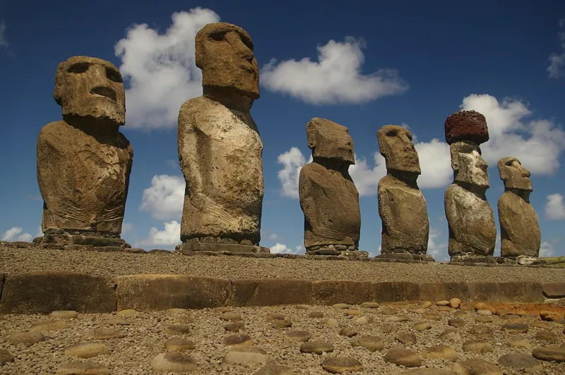 Easter Island moaiVersion 1.0Licence CC0-1.0 (Dryad record)Updated 26 Oct 2026
Used by
0methods
0runs, with their results
0research sessions